



Drone survey
Accurate site and volume surveys from the air
Need a site or construction site surveyed efficiently and in detail? With a drone survey, TOPO4D maps large and complex areas quickly, with an accuracy of a few centimetres.
Ideal for land surveys, volume calculations and construction site monitoring, among other things. You get reliable survey data, tailored to your project and ready for further processing.
What does a drone survey involve?
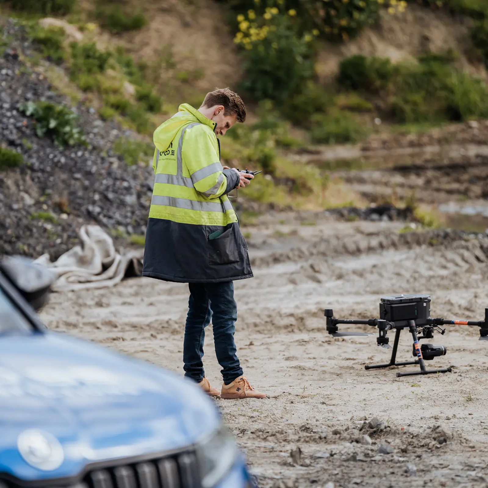
A drone survey combines professional aerial photography with accurate surveying techniques. Using advanced drones and sensors, we collect detailed survey data of a site, construction site or terrain. We process this data through drone mapping into usable output, such as orthophotos, terrain models, point clouds and 3D visualisations. This gives you reliable information for design, volume calculations, construction site monitoring and inspections, among other things.
Is the focus not on measuring, but on assessing the condition of a roof, facade, installation or other hard-to-reach area? Then we carry out a drone inspection, where detailed aerial images help to map damage, wear and other points of attention.
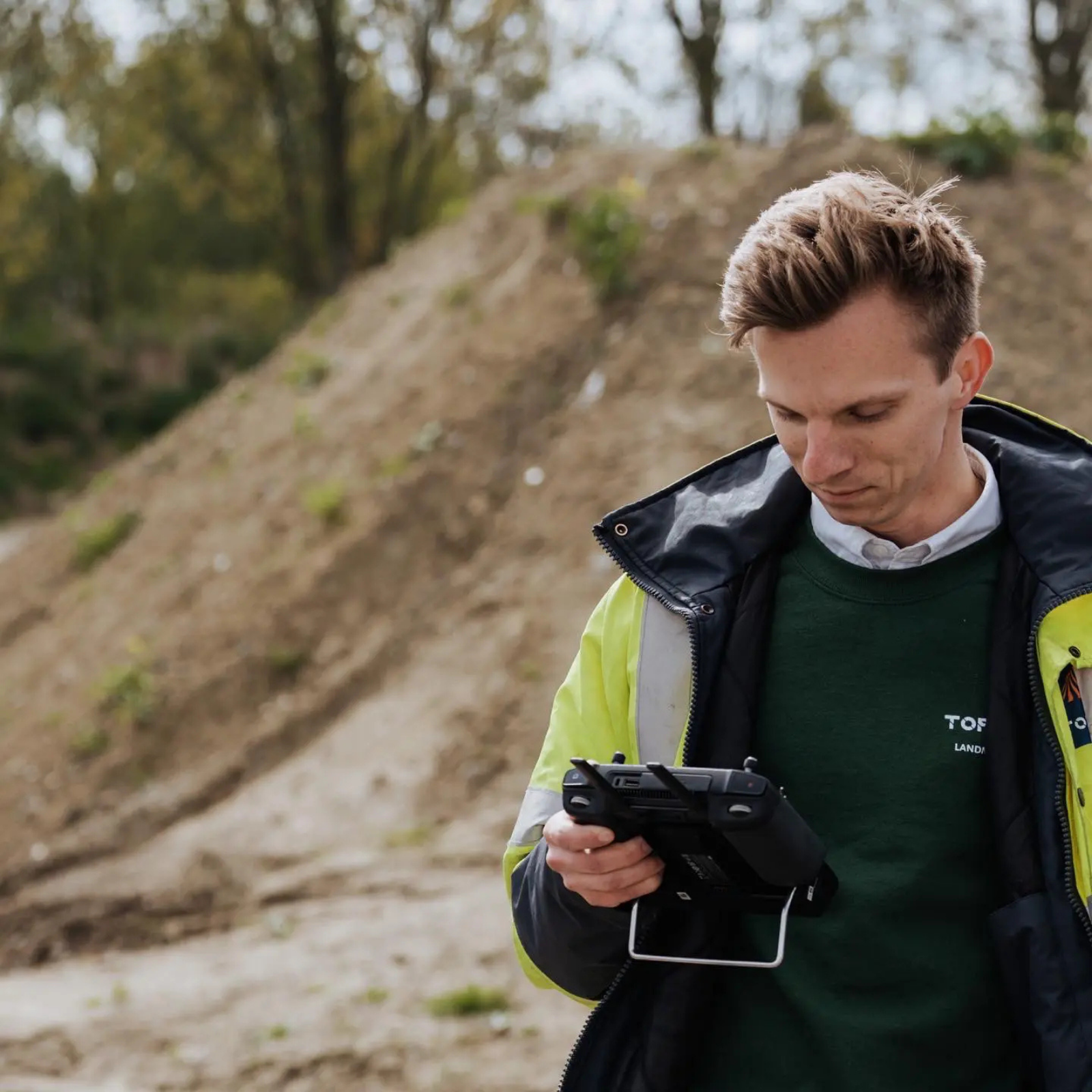
With certified drone pilots, the necessary flight permits and land surveying expertise, TOPO4D can survey small plots as well as large construction sites and industrial sites safely and efficiently.
Why choose a drone survey?
Drone surveys make it possible to map large or hard-to-reach areas quickly, safely and in detail. You collect a lot of survey data in a short time and get an up-to-date picture of the situation on site.
The main advantages:
- Fast: large areas are surveyed in a short time.
- Accurate: you have detailed and up-to-date survey data.
- Safe: hard-to-reach or high-risk zones can be measured remotely.
- Efficient: less time on site and less disruption to the works.
- Ready to use: the survey data is processed into digital output for design, planning, inspection or execution.
This makes drone surveys particularly interesting for construction, infrastructure, earthworks and large-scale site projects.
When is surveying a site with a drone worthwhile?
A traditional land survey remains necessary for many assignments. A drone survey is particularly interesting when speed, overview and accuracy matter, for example on large sites, complex construction sites or in situations where a lot of survey data needs to be collected in a short time.
Volume calculations and earthworks
With a drone, we can accurately determine volumes of soil stockpiles, excavations and fills. This makes the technique particularly suitable for monitoring earthworks and comparing volumes between different phases of a construction site.
Land surveys and topography
From the air, we collect a large number of measurement points across the entire site. This creates a detailed picture of the existing situation as a basis for design, planning and execution. Where extra detail around buildings, structures or installations is needed, we can combine the drone survey with 3D laser scanning.
Construction site monitoring
We survey the same construction site again at different moments and compare the collected data. This makes progress objectively visible and allows volumes, earthworks and changes to be tracked throughout the project. For long-term or continuous follow-up, this can be supplemented with monitoring.
Hard-to-reach areas
Areas that are difficult, time-consuming or less safe to access can also be mapped efficiently from the air. Think of steep embankments, large industrial sites or terrain with limited access.
Level surveys
With a drone, we map heights and level differences across a larger site. This makes it easy to compare and monitor existing and desired levels, excavations and fills.
Have your site surveyed by drone?
Tell us briefly about your site or construction site, and we will look at which approach suits it best and send you a tailored quote.
How does a drone survey work?
01
Analysis
We determine exactly what you want to measure, what accuracy is needed and which files you need afterwards.
02
Preparation
We assess the location, the flight environment and the required reference points, and draw up a suitable flight plan.
03
Survey
The drone records the entire site. Where necessary, we carry out additional measurements on the ground.
04
Data processing
The collected images and measurement points are processed and checked to produce the agreed output.
05
Delivery
You receive the results in a format that fits your further design, costing or construction site process.
Some of our projects
Curious what a drone survey looks like in a real project? In the projects below, you can see how we use drone data for land surveys, volume calculations and construction site monitoring, among other things.
This is why clients choose TOPO4D
Certified drone pilots
Our drone flights are carried out by certified pilots who take into account safety, regulations and the specific conditions of the location.
Land surveying expertise
Our land surveyors ensure that the collected data is correctly interpreted, checked and processed into usable survey information.
One single point of contact
Throughout the entire process, you have one contact person. This keeps communication clear and follow-up efficient.
Tailored
output
You receive the survey data in the format that fits your further design, costing or construction site process.
They went before you


Frequently asked questions about drone surveys
How much does a drone survey cost?
The price depends on the size and location of the site, the required accuracy and the output you need. Any additional measurements or permits also play a role. Want to know what a drone survey costs for your project? Then request a tailored quote.
How accurate is a drone survey?
With the right equipment and survey method, drone surveys can achieve an accuracy of a few centimetres. The exact accuracy depends on the site, the conditions and the purpose of the survey. That is why we tailor our approach to the project requirements in advance.
Do I need a permit myself for a drone survey?
No. TOPO4D takes care of all necessary flight permits and safety measures. We have the required authorisations, aviation insurance and other safety requirements to work smoothly.
Can a drone survey take place in any weather?
Not always. Rain, strong wind or limited visibility can affect flight safety and the quality of the measurements. We monitor the weather conditions in advance and schedule the survey at a suitable moment.
Are drone surveys legally recognised?
Yes, provided they are carried out by certified operators such as TOPO4D. In court, a drone survey has the same value as a traditional topographic survey.
In addition, we often use drone surveys to complement a traditional survey. They help us speed up the drafting work and provide extra visual context to the collected survey data. This also makes the results clearer for people who are less familiar with technical plans, for example in legal cases.
Have a site or volume surveyed by drone?
Leave your details and tell us briefly about your project or what exactly you want to have surveyed. Based on that, we will look at which approach is most suitable. We will then contact you to further fine-tune the assignment.
"*" indicates required fields