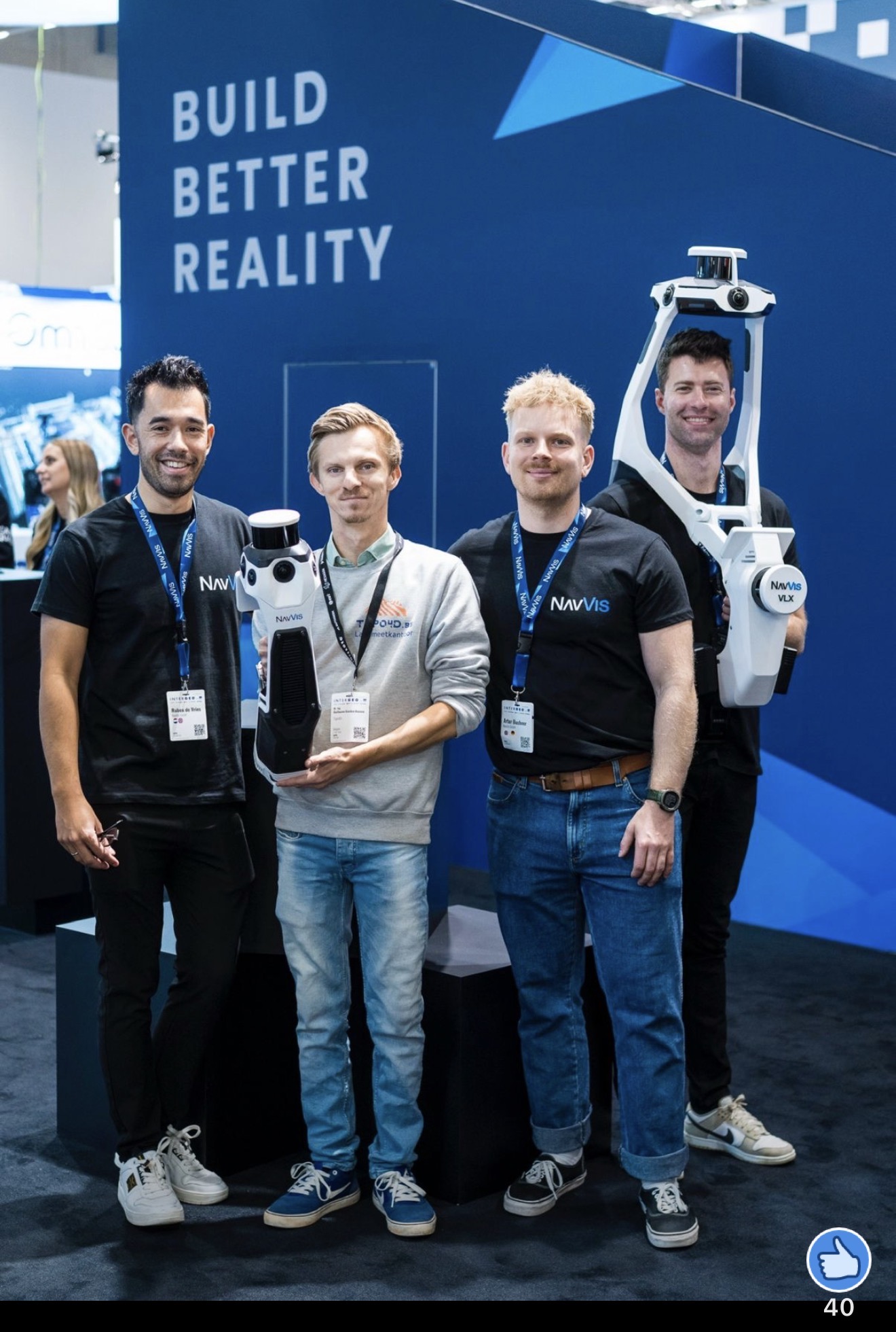
TOPO4D invests in mobile 3D laser scanning technology!
When managing real estate and land use, two important terms often emerge: the cadastral area and the legal area (also known as the ownership area).


When managing real estate and land use, two important terms often emerge: the cadastral area and the legal area (also known as the ownership area).
How does TOPO4D work? From preparation and field measurement to processing and reporting, we combine traditional land surveying with drones and 3D scanning for maximum precision.
When managing real estate and land use, two important terms often emerge: the cadastral area and the legal area (also known as the ownership area).

Choosing a drone pilot for a surveying or technical assignment? Discover 5 essential points regarding certification, accuracy, safety, and data processing.

How much does a land surveyor really cost? At TOPO4D Land Surveying Office, we understand that our clients often want to know the cost of engaging our surveying services. As a dedicated surveying and drone company, we strive to provide transparency regarding our rates and the factors that influence the costs of surveying work.

Our way of working has completely changed. In the rapidly evolving world of geotechnics and land surveying, drones have taken a prominent place as one of the most influential technological breakthroughs.

Topo4D has experience in designing and advising on subdivision projects for both private individuals and property developers. We always do this in consultation with the client to meet their specific requirements.

In the world of land surveying and cartography, technological evolution has brought forth a revolutionary tool: drones.

Flooding poses a constant threat to many areas worldwide. Land surveyors play a crucial role in flood management and prevention by using advanced technologies, such as drones, for mapping flood zones and accurately measuring dikes and elevations.

Geodetic adjustment is an essential process within land surveying that is applied to correct measurement errors and improve the accuracy of
geodetic measurements.

In the rapidly growing renewable energy sector, offshore wind farms play a crucial role in harnessing the power of nature to generate clean and sustainable electricity.

An Official Report of Demarcation is a legal document in which a sworn land surveyor-expert establishes and marks the exact parcel boundaries. Essential for boundary disputes, sales, or construction projects.

Drones are a game changer in the construction sector. They offer speed, safety, and precision in every phase of a site project: from start-up to completion.

For surveying applications, we primarily use multirotor drones or occasionally fixed-wing aircraft.

GCP stands for Ground Control Point. This is used as a reference and control point for a drone survey.

With Topo4D, we provide assistance to individuals, companies, and insurers to obtain a complete file regarding storm damage.
Assessments can be carried out using a drone to obtain a clear view of the damage. For example, we can get a clear view of a detached roof.

In recent months, we had the privilege of providing topographic and drone services for the Modernite site in Aalst.
There, OVAM is carrying out soil remediation for the underground storage of asbestos-containing materials originating from an above-ground asbestos mound and the asbestos-containing embankment layer, naturally provided with a secure cover layer.

LOD (level of detail) and LOA (level of accuracy) are used in the BIM world and can serve as standards for determining the levels of detail in drawings, or for establishing agreements regarding a required level of accuracy.

You can consult a land surveyor for various matters. Indeed, we do much more than just “measuring land,” as the word land surveyor might suggest.
For instance, a land surveyor provides ideal technical assistance on construction sites, in boundary disputes, and various real estate matters.

For both private individuals and professionals in the construction or infrastructure sector, it is important to always work with a good land surveyor. After all, you do not want the foundation of a bridge to be laid out incorrectly, or for your neighbor to possess a piece of land that is actually your property.

A question we receive almost daily: what is the difference between a Report of Boundary Determination and a Report of Demarcation?
The basis of this is quite simple, and to avoid unnecessary complexity, we will limit this explanation accordingly.

Understanding accuracy might seem like something strange. In GNSS measurements, for example, there is always a small deviation. Therefore, we do not yet know how accurate the survey is, or whether we are talking about relative or absolute accuracy. When does each apply? In this post, we explain it briefly.

“Automatic and smart measurement, that is the future,” according to Guillaume. He is curious about how drone surveying will evolve. Land surveying is becoming more widely accessible. You do not necessarily need a background in land surveying to be able to measure, as software and technology are becoming smarter. I am curious about the development of Artificial Intelligence, laser scanning, and satellite imagery from the air.”

In addition to boats, we can also perform bathymetric surveys (measurements of the water bed) using drones. To do this, we suspend an echosounder beneath the drone, which then hangs just in the water to perform measurements. The drone then flies a specific pattern via software.

We regularly perform volume determinations of materials such as ballast. We carry this out on behalf of a railway contractor who needs to know the quantity of ballast stockpiled at a specific location and whether it is sufficient for a particular project.