
Land surveyor for legally valid and accurate measurements
Whether you are building a home, developing a site, selling a plot, or wish to establish a boundary: everything starts with correct and reliable measurements. TOPO4D is your sworn land surveyor-expert for traditional surveying, performed with modern measuring equipment and tailored to every project. From site surveys and boundary determination to demarcation and subdivision, we deliver legally and technically usable measurement data for you to build upon.

What do we do for you?
As a sworn land surveyor-expert, we accurately map land and buildings, with an eye for legal, technical, and administrative requirements. Depending on your request, we create a site plan, measure existing structures, or establish property boundaries via a formal report of demarcation.
Our measurements are carried out according to current legislation and are suitable for use in urban planning files, notarial deeds, architectural plans, and permit applications. For projects where changes over time must be tracked, this can be supplemented with monitoring.
Typical applications include:
- Topographic surveys of building plots and parcels
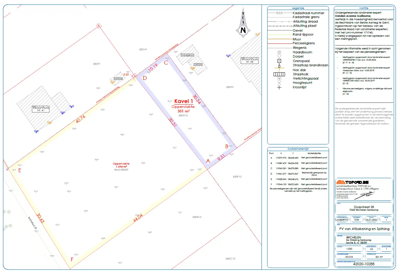
- Boundary determination and official reports of demarcation for sales or disputes
- Preparation of subdivision plans and property splitting
- Surveying of existing buildings for regularization or repurposing
- Setting-out plans in preparation for construction work
For surveying existing buildings or complex structures, this can be supplemented with 3D laser scanning. For every project, we ensure clear communication, a transparent workflow, and correctly finished, legally valid documents. You can find more practical information in our FAQ.
Accuracy as standard
At TOPO4D, accuracy is not an option, but the norm. We work with professional measuring equipment such as total stations and RTK-GNSS to measure correctly down to the centimeter. For larger terrains or difficult-to-reach zones, drone surveys can be an efficient addition. We process the measurement data into clear plans and digital files that are immediately usable for further steps.
Depending on your project, you will receive a site plan, boundary plan, or demarcation report in the desired format, such as PDF, DXF, or DWG. Based on the measurements, we also actively contribute to legal or urban planning questions and coordinate everything with your architect, notary, or municipality.
Why choose TOPO4D?
As a certified land surveying firm, we combine deep professional knowledge with experience in diverse cases, from simple setting-out work to complex subdivisions and boundary disputes. For complex files or disputes, our land surveying expertise can also be utilized. Our approach is personal, efficient, and always legally correct.
You can count on:
- Surveys performed by a sworn land surveyor-expert
- Plans and reports that are legally and technically applicable
- Modern measuring equipment, supplemented by drones and in-house digital processing
- Clear communication and guidance from start to finish
- Fast delivery times without compromising on accuracy
We measure, draw, and advise with one goal: to give you a solid and reliable foundation to build, develop, or sell without worries.

Need advice about your survey?
Are you unsure whether you need a demarcation or a site survey? Do you want to have your plot legally established or split? TOPO4D thinks along with you and provides clear advice tailored to your situation. This way, you know exactly which survey is required and what you can expect.
Request your survey
We will review your request and quickly provide you with a clear quote or targeted advice.
"*" indicates required fields