
Drone mapping for actionable measurement data and digital models
Do you need more than just drone imagery and require measurable data to work with effectively? With drone mapping from TOPO4D, we accurately map terrains, construction sites, and locations, processing aerial data into actionable measurement products such as orthophotos and terrain models as part of our drone surveying workflows. This provides you with oversight, control, and measurement data that can be used for analysis, design, planning, execution, and reporting.

What is drone mapping?
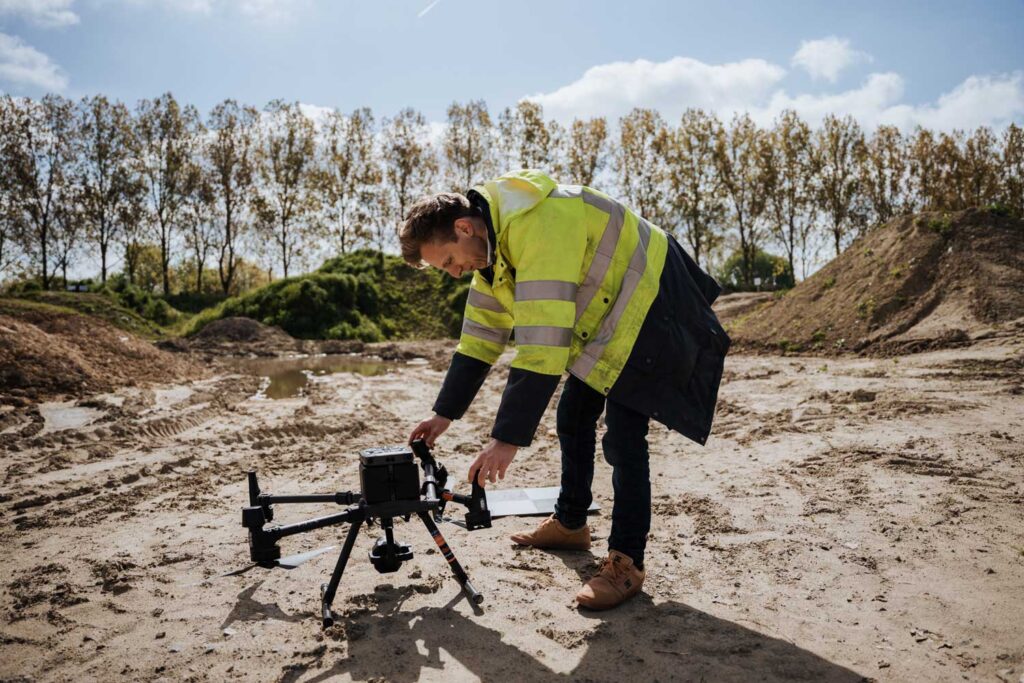
Drone mapping is the process of systematically capturing an area with a drone and processing the collected images into accurate measurement products. This includes scaled orthophotos, digital terrain models, or 3D point clouds. Unlike a standard drone flight, mapping is performed according to a predetermined flight plan with fixed overlap and set parameters, ensuring the processing leads to a consistent and reproducible result.
At TOPO4D, we combine certified drone operations with land surveying expertise. This ensures you receive not only raw data but correctly interpreted measurement products and deliverables that integrate seamlessly into your further processing for design, analysis, or planning, as part of our drone surveys.

What do we deliver?
Depending on the purpose and context of your project, we provide, among other things:
- Scaled orthophotos as a reliable basis for plans, analysis, and site communication
- Digital Terrain Model (DTM) and Digital Surface Model (DSM) for design, simulation, and analysis
- 3D point cloud for measurements, modeling, and verification
- Contour lines and measurement files suitable for CAD and GIS applications
- Derived volume calculations for stockpiles, excavations, and embankments
- Periodic measurement results for site monitoring and progress reporting
You save time, maintain oversight, and work with up-to-date and consistent data. Drone mapping makes it possible to efficiently map large areas and quickly share results with all stakeholders. The delivered output is immediately ready for further analysis, planning, and verification.
What is drone mapping used for?
Drone mapping is ideal when speed, oversight, and consistent data are essential. It is frequently used for earthworks and volume determination, in the preparation and design of infrastructure projects, and for up-to-date terrain analysis of subdivisions and industrial sites. By capturing large areas in one go, you quickly gain insight into the existing situation and the evolution of the terrain.
On construction sites, drone mapping is a powerful tool for objective site monitoring. By comparing measurement intervals, progress can be clearly documented and reported, avoiding disputes and simplifying communication with all involved parties.
Even in hard-to-reach areas, drone mapping offers a safe and efficient approach, without unnecessary risks on-site or disruption of activities.
Why work with Topo4D?
At TOPO4D, you choose a smooth and controlled approach, from capture to processing and delivery. You work with a single point of contact and can count on clear communication and results that are technically correct and immediately applicable in practice. No standard exports, but output tailored to your project, workflow, and objectives.
Want to know which output best suits your project? Feel free to contact us for specific advice or view our FAQ for answers to frequently asked questions.
Contact us for drone mapping
Specific advice and output tailored to your project
"*" indicates required fields