3D laser scanning
Accurately map buildings and structures with a 3D scan
With 3D laser scanning, we map buildings, structures, installations and sites quickly and accurately. The scanner records millions of measurement points and translates the existing situation into a detailed point cloud.
This survey data forms a reliable basis for further development: from 2D plans and facade elevations to 3D and BIM models. This gives you one digital source in which you can still check dimensions, heights and positions afterwards.
What is 3D laser scanning?
With 3D laser scanning, an environment is captured in a short time using millions of laser pulses. These pulses reflect off surfaces and are converted by the scanner into accurate measurement points. The result is an extremely detailed point cloud, a digital representation of the entire space in which shape, dimensions, position and relative proportions are precisely recorded.
This technique is particularly suitable for complex, hard-to-access or high-risk locations, where traditional survey methods are more cumbersome or less safe. 3D laser scanning makes it possible to correctly analyse and further process existing situations, without physical presence at every measuring location. For projects where changes over time need to be tracked, this can be combined with monitoring.
What are the benefits of a 3D scan?
- Accuracy: 3D laser scanning captures an existing situation very precisely, even with complex shapes and components that are difficult to measure.
- Reusable data: the point cloud remains available for further processing. Additional dimensions or data can often still be extracted from the same scan afterwards.
- Safe: hard-to-reach or high-risk zones can be recorded remotely, reducing the need for physical access.
- Time savings: a large amount of survey data is collected in a short time. This makes the survey more efficient and limits additional site visits.
- Completeness: not just individual measurement points, but the entire visible environment is captured digitally. This gives you a detailed picture of the existing situation.
What do you get after a 3D laser scan?
You can use the point cloud from a 3D scan as an end product, but the collected survey data can also be processed further into the information you need for design, execution, inspection or management.
Point cloud
The point cloud is a digital copy of the existing situation. Afterwards, you can derive distances, heights, areas and relative positions from it without having to measure on site again. We deliver the point cloud in common, open formats such as E57, RCP/RCS (Autodesk) or LAS/LAZ (GIS), tailored to the software you work with.
2D plans, elevations and sections
Based on the scan data, we can produce floor plans, facade elevations and sections, among other things. This gives you reliable plans, even when existing plans are missing or no longer match reality.
3D models
For projects that require a three-dimensional representation, we further process the point cloud into a usable 3D model of the existing situation.
Scan-to-BIM
The scan data can also serve as the basis for a BIM model. With Scan-to-BIM, the measured existing situation is translated into a digital building model on which architects, engineers and other project partners can continue to work.
As-built documentation
After execution, 3D laser scanning can be used to accurately record what was actually built or installed. This creates reliable as-built documentation for inspection, management or later modifications.
What output do you need?
A point cloud for your own software, detailed plans or a complete BIM model? Together we look at what your project requires and deliver the data in the format you work with.
How does 3D laser scanning work?
01
Analysis
In advance, we look at what the survey will be used for, what accuracy is needed and in which format you want to receive the data.
02
Scanning
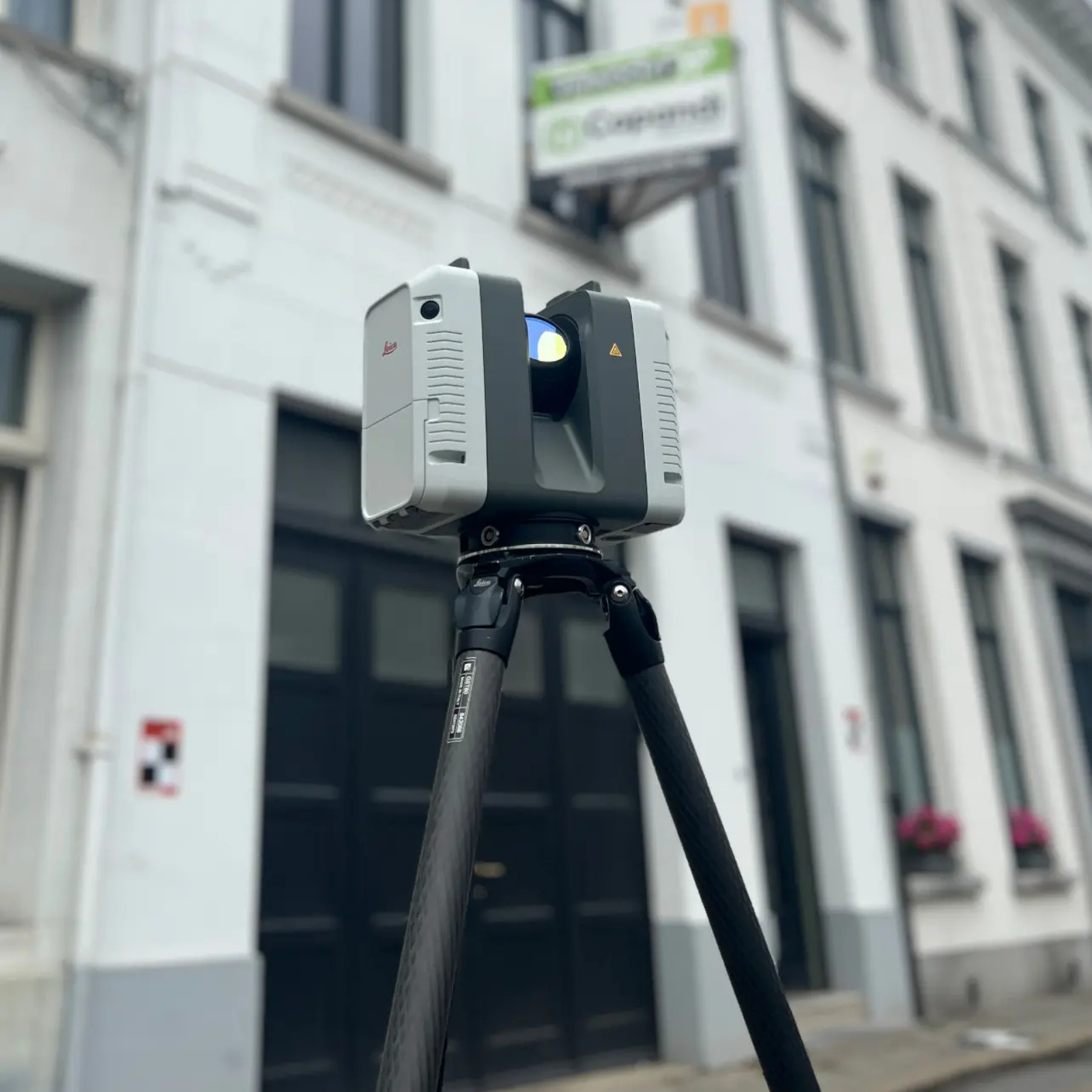
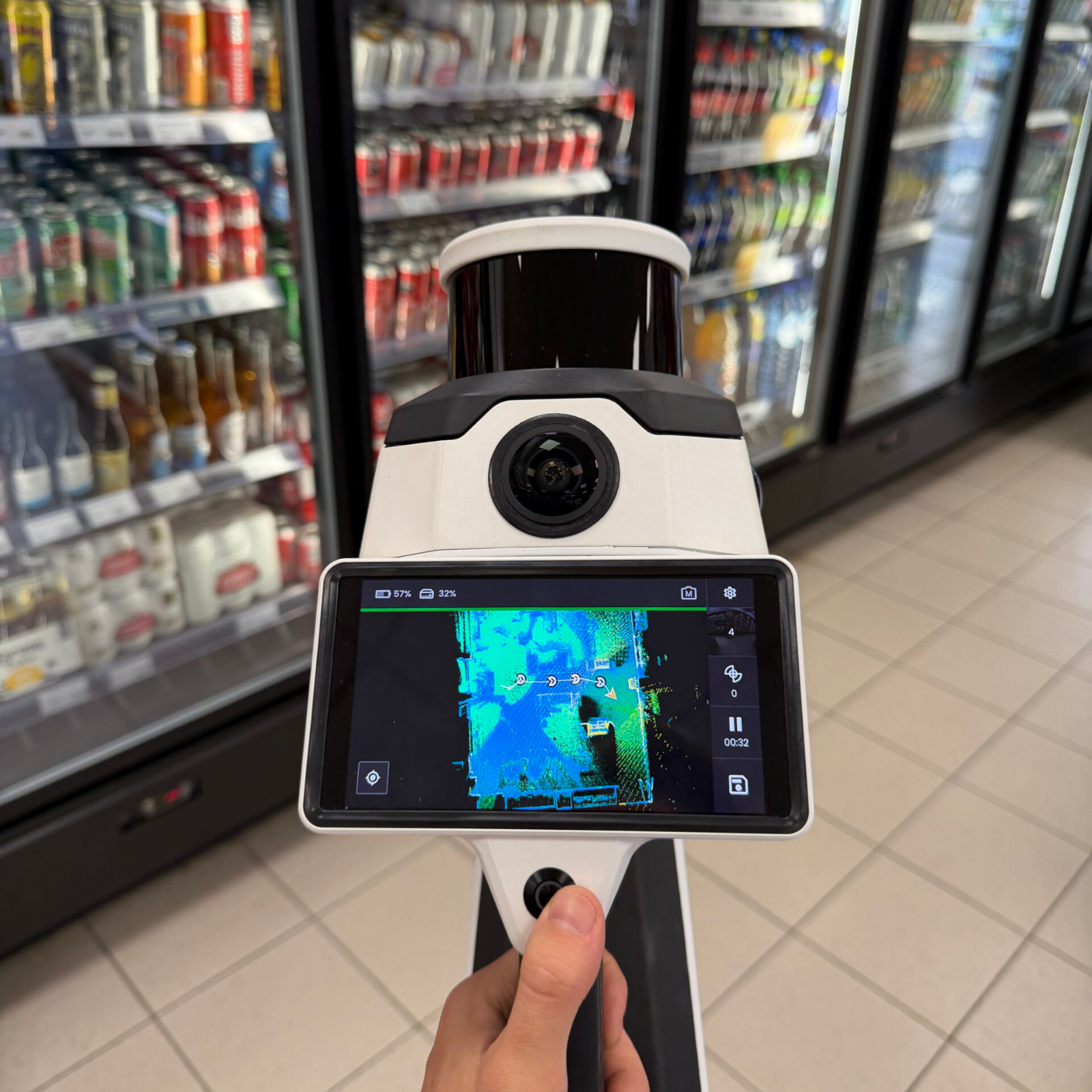
Our land surveyors record the existing situation with the most suitable survey equipment. This can be a static 3D laser scanner, mobile scanning or a combination of different techniques.
03
Processing
The various scans are combined into one consistent point cloud. The data is checked and processed further according to the project requirements.
04
Delivery
From a point cloud to 2D plans, a 3D model or BIM model: we deliver the survey data in a form that you and your project partners can work with.
Some of our projects
Curious what 3D laser scanning looks like in practice? In the projects below, you can discover how TOPO4D digitally maps existing situations and processes the survey data into usable plans, models and other project data.
Take a virtual walk through the scanned environment
A 3D scan does not have to be just a technical file. With NavVis IVION, the scanned environment can also be made digitally accessible.
You move virtually through the building, view 360° images and take measurements, simply from your browser. This way, you don’t have to go on site every time to check something, and you can easily share the environment with other project partners.
3D laser scanning for different sectors
Architecture and renovation
For renovations and conversions, an accurate existing situation is crucial. 3D laser scanning provides an accurate basis for plans, designs and BIM models, indispensable for architects who want to design based on a reliable existing situation.
Construction and infrastructure
During preparation, execution or delivery, scan data can be used for setting out, inspection and as-built documentation, including for larger infrastructure projects for contractors and governments.
Industry
Technical rooms, installations, pipes and structures often contain complex geometries. With 3D laser scanning, we can capture this environment in detail without measuring each component separately.
Heritage
Historic buildings and complex architectural details can be recorded digitally without damaging the structure. The survey data can then be used for documentation, restoration or further analysis.
This is why clients choose TOPO4D
Certified land surveyor
You work with a team that combines specialised expertise with modern surveying technology. This ensures correct and reliable survey data.
Tailored techniques
Depending on the location, required accuracy and application, we choose the most suitable method: from static 3D laser scanning to mobile mapping and LiDAR.
Everything in-house
From on-site scanning to processing and final delivery: the entire process takes place within TOPO4D. This way, we keep control over quality, timing and finish.
One single point of contact
Your file is followed up by one team, without unnecessary intermediaries. This ensures clear communication, short lines and a result you can use straight away.
They went before you


Frequently asked questions about 3D laser scanning
How much does laser scanning cost?
The price depends on the size and complexity of the location, the required accuracy and the output you need. The more processing is needed, the more this is reflected in the price. Contact us for a tailored quote.
What is a point cloud?
A point cloud consists of millions of three-dimensional measurement points that together represent the scanned environment. Each point has an exact position in space. Together, they form an accurate digital representation of, for example, a building, structure or site.
How accurate is a 3D laser scan?
The achievable accuracy depends on factors such as the scanner used, the distance to the object, the environment and the chosen survey method. That is why we determine in advance what accuracy your application requires and tailor our approach accordingly.
What can you do with a 3D laser scan?
The scan data can be used for point clouds, floor plans, facade elevations, sections, 3D models, BIM models and as-built documentation, among other things.
In which formats can the scan data be delivered?
TOPO4D tailors the file format to your project and the software you work with. Derived plans and models can be delivered as DWG, DXF, PDF, IFC or OBJ, among others. This way, you can use the survey data straight away within your own workflow.
Need an existing situation mapped accurately?
Do you need reliable survey data for a renovation, design, BIM model, as-built file or technical study? TOPO4D accurately maps the existing situation and delivers the data in a form you can work with.
"*" indicates required fields