

Chartered Land Surveyor for precise measurements using 3D scanning and drone technology

As a chartered land surveyor, TOPO4D combines traditional land surveying with advanced measurement technology for accurate surveys of terrain, buildings, and infrastructure. From the ground to the sky.

chartered-land-surveyor land-surveyor drone pilot drone-pilot TOPO4D Land-Surveying-Office Aalst Affligem Bruges Ghent

Our services

Land Surveying

Topographical surveys, boundary determinations, and setting-out plans carried out by a sworn land surveyor according to current standards. Reliable measurement data for design, permitting, and execution, with maximum accuracy.

Drone Surveys

Aerial imagery, orthophotos, and volume calculations via drones. Fast, safe, and ideal for site analysis, inspections, and project monitoring.

Monitoring & Follow-up

Continuous supervision of movements, subsidence, and vibrations. Real-time measurement data and notifications for timely adjustments during projects.

3D Laser Scanning

Accurate 3D measurements of buildings and structures. Point clouds and digital models for renovation, restoration, and design.

Thermography

Thermal measurements to visualize heat loss, insulation issues, and leaks. Clear insights into invisible defects.

Bathymetry

Underwater measurements of depths and bottom profiles. Suitable for dredging works, water management, and infrastructure projects.

Land Surveyor Expertises

Legally substantiated reports, descriptions of state (plaatsbeschrijvingen), and Vlabel-recognized valuations for rentals, works, and disputes.

Need advice?

Unsure which measurement solution fits your project?

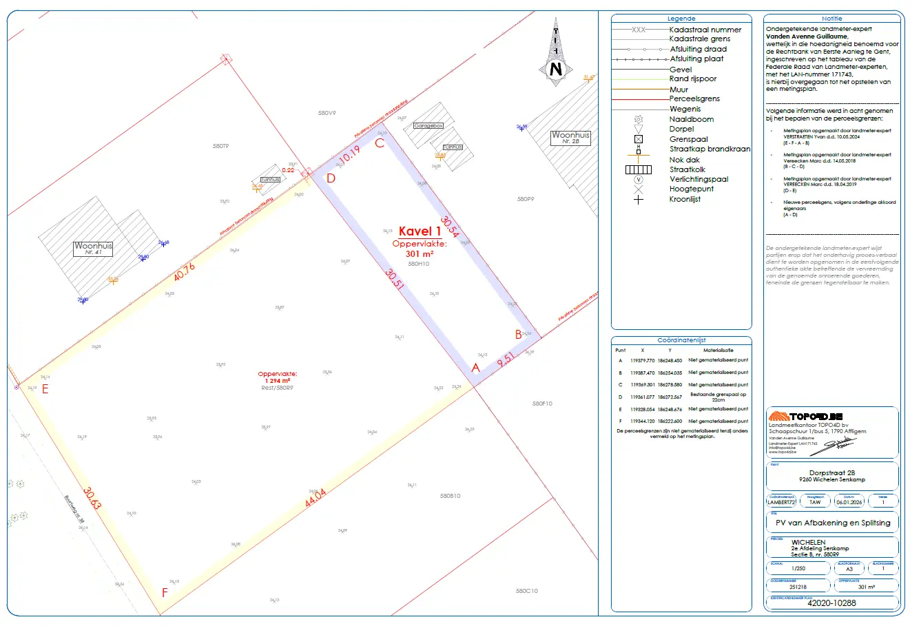
Report of delimitation and splitting with new parcel boundaries prepared by a land surveyor

About us

TOPO4D is a multidisciplinary land surveying firm and chartered land surveyor that combines traditional land surveying with innovative measurement technology. We accurately map terrain, buildings, and infrastructure using drones, 3D laser scanning, and structural monitoring, among other methods. As a sworn chartered land surveyor, we provide legally valid surveys and reports, always with the same focus on precision, safety, and a personalized approach.

Over the years, TOPO4D has grown into a household name within Flanders for professional measurement services. We work for individuals, companies, and government entities and are known for clear communication, efficient execution, and high-quality reporting. Our mission is clear: to make reliable land surveying accessible, without compromising on accuracy or reliability.

Our sectors

As a chartered land surveyor, TOPO4D is active in various sectors and offers surveying support tailored to each project. From private homes to complex infrastructure works, we provide reliable measurement data that architects, contractors, notaries, governments, and engineering firms can count on. Thanks to our multidisciplinary approach, we combine precision, technology, and insight into clear results that support every phase of the construction or management process.

Land surveyor sets out axes with total station and prism for accurate positioning of a new-build home

Download our brochure

NavVis 3D laser scanner for mobile mapping

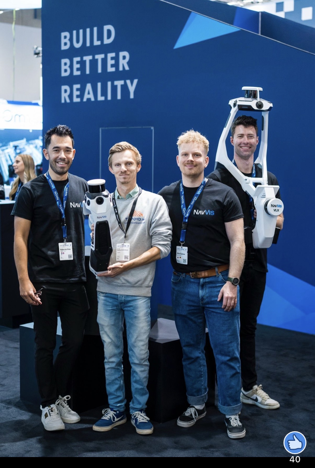
TOPO4D invests in mobile 3D laser scanning technology!

When managing real estate and land use, two important terms often emerge: the cadastral area and the legal area (also known as the ownership area). ...


Our way of working

How does TOPO4D work? From preparation and field measurement to processing and reporting, we combine traditional land surveying with drones and 3D scanning for maximum ...

What is the difference between the cadastral area and the legal area (property area) of a plot?

When managing real estate and land use, two important terms often emerge: the cadastral area and the legal area (also known as the ownership area). ...

They went before you

Peter De Schrijver
"I am extremely satisfied with the services of TOPO 4D and manager Guillaume Vanden Avenne. Guillaume always makes correct agreements and adheres to them punctually. The prices are very fair and transparent, without surprises afterwards. His knowledge and expertise in the field are impressive; he is truly a master of his craft. Moreover, he is always up to date with the latest methods and techniques. I can wholeheartedly recommend TOPO 4D to anyone looking for a reliable and expert land surveyor!"
Jonas Van Vaerenbergh
"Very good land surveying office that is up-to-date with all innovations on the market. Guillaume is an excellent drone pilot and captured everything beautifully. Thank you Topo4D for the work delivered!"
Denis Zhilkin
"Excellent and professional job done. I would also like to note that all work was completed in the shortest possible time."

Want to know more?

Contact us via the form below or view our FAQ.

"*" indicates required fields

Name*
This field is hidden when viewing the form
Address or site location
This field is hidden when viewing the form
Drop files here or
Max. file size: 256 MB.
    Scroll to Top